La Maddalena boat tour map: the islands and the route
The lay of the archipelago
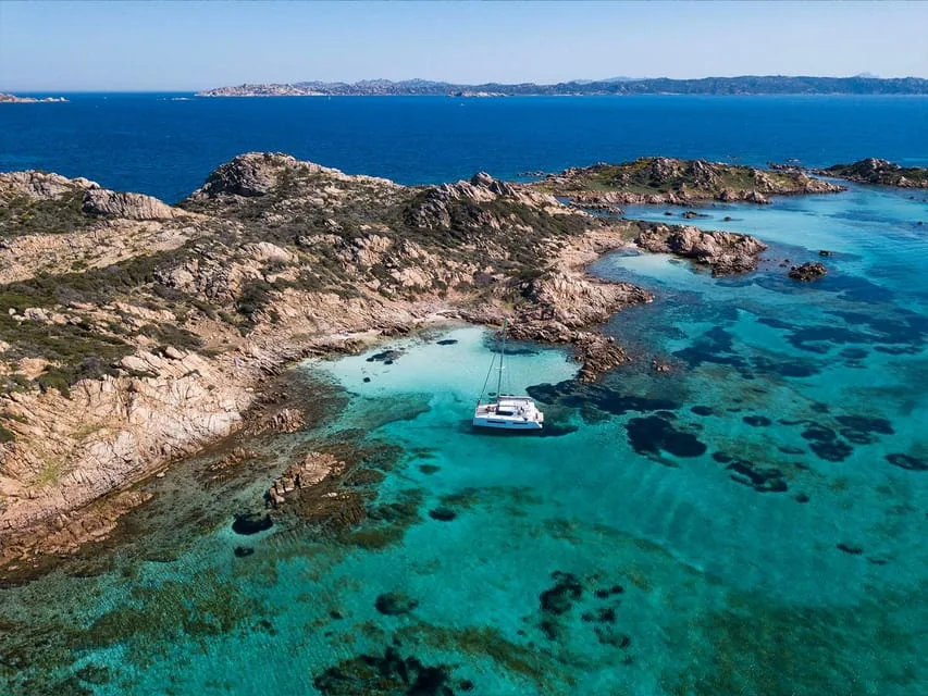
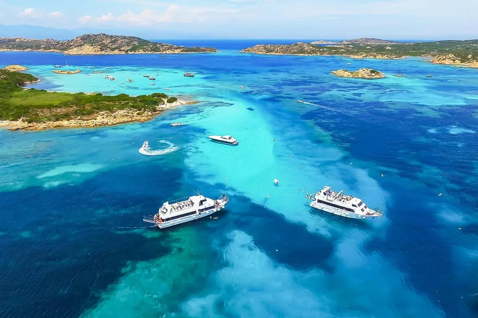
The La Maddalena National Park is a cluster of seven main granite islands and dozens of islets off the northeast tip of Sardinia. La Maddalena and Caprera (joined by a causeway) sit closest to Palau; Santo Stefano lies in the channel between; and the wilder, uninhabited islands — Spargi, Budelli, Razzoli and Santa Maria — spread west and north, where the most famous water is. Tours work an anticlockwise-ish loop out to the western islands and back.
A typical route, stop by stop
- Depart Palau — cross the channel past Santo Stefano.
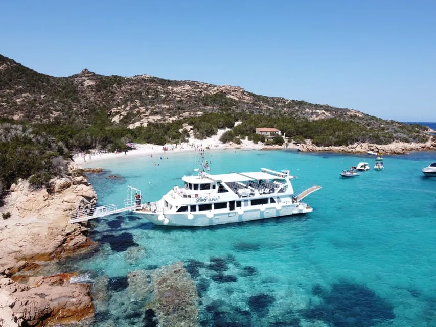
- Spargi (Cala Corsara) — first and usually longest swim.
- Budelli–Razzoli–Santa Maria lagoon — the turquoise “pool” and the day’s big swim.
- Budelli Pink Beach — a slow pass or pause offshore (no landing).
- Santa Maria or Caprera — final swim, then back to Palau.

The order isn’t fixed. Skippers read the day’s wind — the Strait of Bonifacio is breezy — and pick the most sheltered bays first, so two boats on the same day can run the loop in a different sequence.
Where each beach and cove sits
The marquee swimming spots, roughly west to east: Cala Corsara on Spargi; Spiaggia Rosa (Pink Beach) and the lagoon around Budelli; the long shallow beaches of Santa Maria; and, on Caprera, the emerald Cala Coticcio (“Tahiti”) and Cala Brigantina. See what happens at each on the 4 stops.
How to picture it before you book
Open any map app and search the national park: you’ll see Palau bottom-right, La Maddalena and Caprera just offshore, and the western islands strung out toward Corsica. Your tour traces that arc. Decide which port to leave from and which boat suits you, then book.
Book a La Maddalena boat tour
The simplest way to see the archipelago is a guided boat tour — the skipper handles the route and the swim stops while you just bring a towel, with free cancellation on most tours.
Pick your boat for the route
 Most booked
From Palau: La Maddalena Boat Tour, 4 Islands in One Day
 Catamaran · lunch
From Palau: La Maddalena Archipelago Catamaran Tour w/ Lunch
 Best value
Sardinia: La Maddalena Archipelago Full-Day Trip by Boat
Frequently asked questions
Where is the La Maddalena archipelago?
Off the northeast tip of Sardinia, in the Strait of Bonifacio between Sardinia and Corsica. The national park has seven main islands and dozens of islets; tours leave from Palau on the mainland or from La Maddalena town.
What islands does a La Maddalena boat tour visit?
A typical loop takes in Spargi, the Budelli–Razzoli–Santa Maria lagoon, a pass of Budelli’s Pink Beach, and Santa Maria or Caprera, often passing Santo Stefano. The exact order depends on the wind.
How long is the boat tour route?
Most full-day tours run about six to seven hours door to door, covering the western islands and back. Catamaran and sailing tours cover a similar route at a more relaxed pace.
Why do the stops change from tour to tour?
The Strait of Bonifacio is windy, so skippers choose the most sheltered bays for swimming on the day. The islands are the same; the sequence and exact coves shift with conditions.